A campsite list that gets out of the way
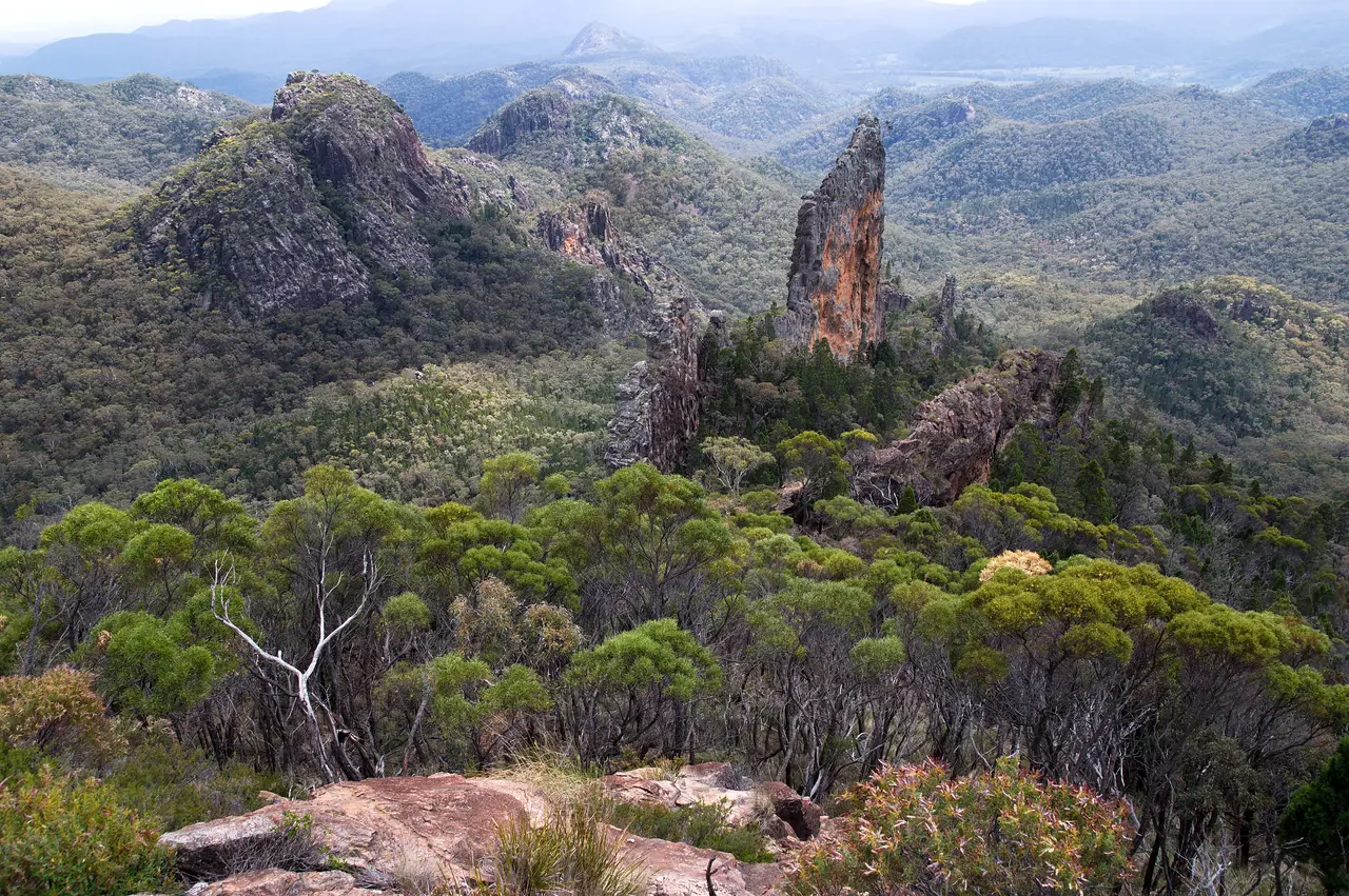
Photo: The Breadknife, Warrumbungle National Park, Alan Wigginton, CC BY-SA 4.0

Outdoors Kept Simple is a plain directory of places to camp in Australia. It covers every state and territory, using government open data where it exists and OpenStreetMap everywhere else.
Where the information comes from
Listings come from open government datasets: NSW National Parks and Wildlife Service camping areas, NSW Spatial Services Points of Interest (camping grounds and tourist parks), Forestry Corporation of NSW state forest boundaries, Parks Victoria campgrounds via DataVic, OpenStreetMap campsites and caravan parks (ODbL), and Scout and Guide branch pages. Suburbs, council areas and postcodes come from ABS boundaries. Licences and attributions are on the credits page. We use the name, type and coordinates for each site.
Listing types
- National park: Camping areas in national parks.
- State forest: Camping grounds in state forests and forestry areas.
- Park/reserve: Campgrounds in other parks and reserves run by a parks agency.
- Other campground: Other named camping grounds, including council, community and private sites; operator shown only where the data records it.
- Caravan/tourist park: Caravan parks, tourist parks and holiday villages.
- Scout & Guide venue: Campsites run by Scout and Guide branches, from their official pages.
For camping grounds and tourist parks from NSW mapping data, the data does not say who runs them, so we say "operator not recorded" rather than guess.
Where the data doesn't tell us something, such as facilities or fees, we leave it blank. We would rather show less than show something wrong.
Regions
The dataset doesn't include a region for each site, so we group each state's sites into broad areas using latitude and longitude. These are approximate and don't match any official boundary.
Before you go
Conditions change. Fire bans, closures, floods and booking rules can all affect a site. Check with the park agency, council or operator before every trip.
Photos and maps
Photos are from Wikimedia Commons under open licences, credited on the credits page. Maps use OpenStreetMap.