Photo and data credits
Every photo here is from Wikimedia Commons under a public domain or Creative Commons licence. Photos were resized and converted to WebP. No other changes were made.
Photos
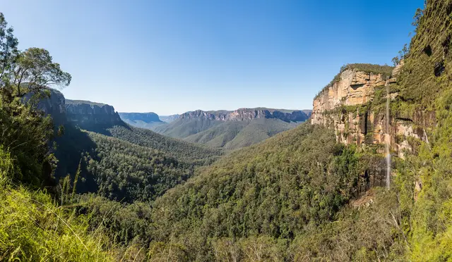
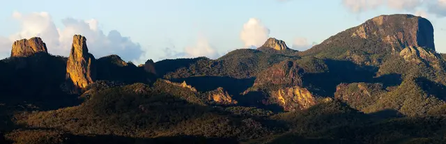
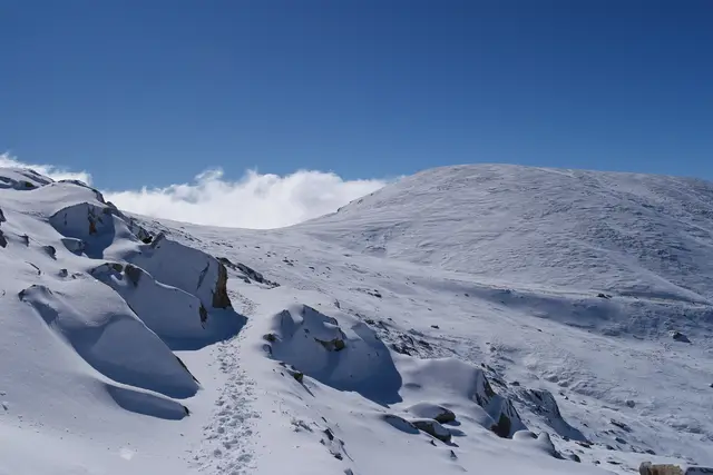
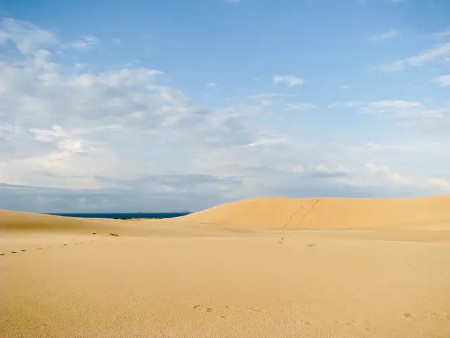
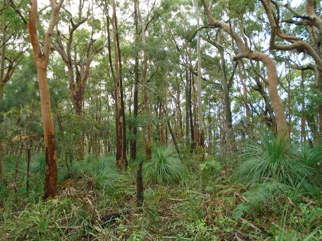
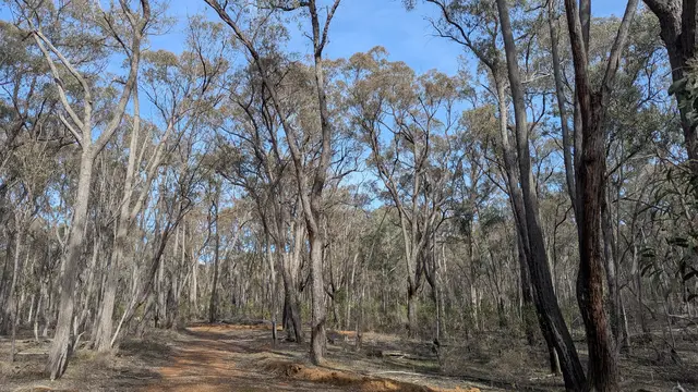
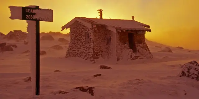
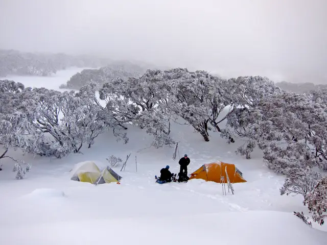
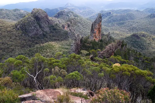
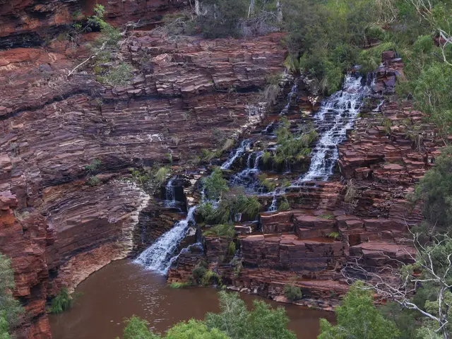
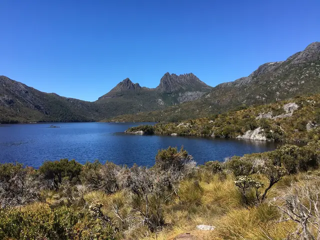
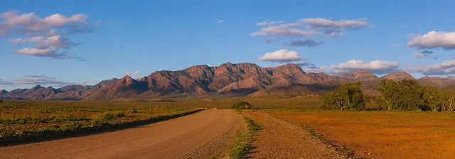
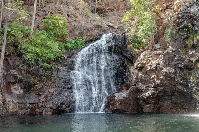
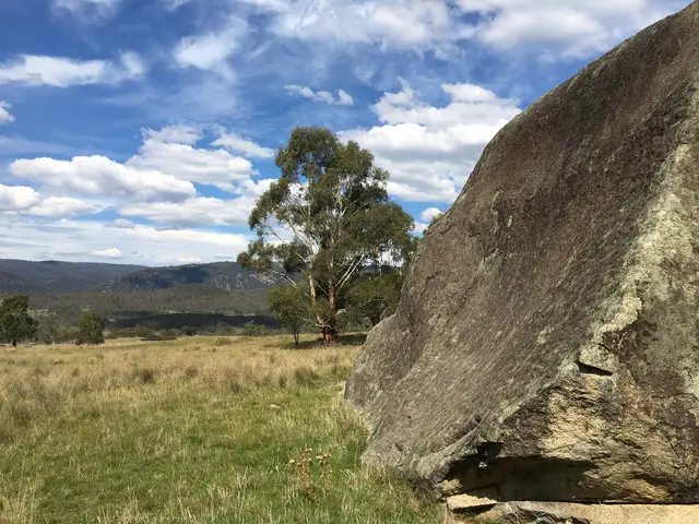
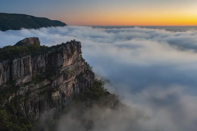
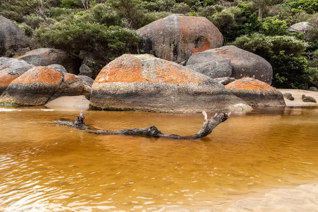


Data
Campsite names, types and locations come from these open datasets. We use the name, category and coordinates and don't add details the data doesn't hold. Names from NSW Points of Interest were converted from capitals to title case. Sites in more than one dataset (same or closely similar name within about 500 m) are listed once, keeping the government record and adding OpenStreetMap facility tags to it. Each facility and contact detail on a listing is credited to its source. OpenStreetMap data is © OpenStreetMap contributors and available under the Open Database Licence; our derived listing data is offered under the same licence.
- NSW NPWS: © State of New South Wales (NSW National Parks and Wildlife Service, DCCEEW), Asset Infrastructure – Visitor Area, licensed under CC BY 4.0.
- NSW Spatial Services: © State of New South Wales (Spatial Services, Department of Customer Service NSW), NSW Points of Interest (POI), licensed under CC BY 3.0 AU.
- Forestry Corporation of NSW: State forest boundaries used to tag sites: © Forestry Corporation of NSW, NSW Dedicated State Forests, licensed under Creative Commons Attribution.
- OpenStreetMap: © OpenStreetMap contributors, available under the Open Database Licence (ODbL).
- Scout and Guide branches: Venue names, notes and links from each Scout or Guide branch's official campsite page. Coordinates, where shown, © OpenStreetMap contributors (ODbL).
- ABS: Suburbs and localities, local government areas and postcodes: Australian Bureau of Statistics, ASGS Edition 3 (2021), licensed under CC BY 4.0.
- Parks Victoria: © State of Victoria (Parks Victoria), Parks Victoria Camp Grounds and Huts via DataVic, licensed under CC BY 4.0.
The Parks Victoria dataset notes it "is not official Parks Victoria data and has only been published (temporarily) for the intent of use by Govhack (2016) participants". Treat Victorian locations as indicative and check with Parks Victoria.
Scout and Guide venues: names, notes and links from each branch's official campsite page, with locations from OpenStreetMap where the name matched.
Maps and fonts
Map data © OpenStreetMap contributors, shown with Leaflet. Fonts: Fraunces and Source Sans 3, both under the SIL Open Font License. Logo and illustrations drawn for this site.